Review · spring · summer · fall · winter
Garmin GPSMAP 67 Handheld GPS Review: Multi-Band GNSS Meets Backcountry Durability
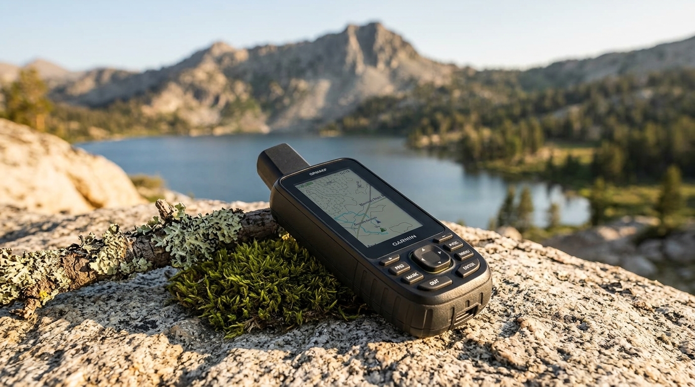
The Garmin GPSMAP 67 is a ruggedized handheld GPS built for backcountry navigation where smartphone reliability falters. It targets hunters, hikers, and SAR personnel who need multi-band GNSS accuracy (GPS, GLONASS, Galileo), button controls that work in gloves, and multi-day battery life without cell service. The tradeoff: you're paying premium dollars for a single-purpose device in an era when many casual users rely on phone apps, and the learning curve is steeper than consumer-grade units.
Disclosure: Four Seasons Gear is reader-supported. When you buy through links on our site, we may earn an affiliate commission at no extra cost to you. Prices and availability are accurate as of the time we last checked.
Specifications
Specs
Multi-Band GNSS and Accuracy
The GPSMAP 67 employs multi-band GNSS reception, meaning it can track both L1 and L5 frequency bands from GPS satellites, plus comparable signals from GLONASS and Galileo constellations. In practical terms, this improves position accuracy in challenging environments—slot canyons, dense forest canopy, urban corridors—where single-band units struggle with multipath interference. Garmin doesn't publish a CEP (circular error probable) spec, but multi-band typically delivers sub-3-meter accuracy under open sky and faster satellite acquisition after cold starts. The unit includes a barometric altimeter and three-axis electronic compass, both of which can be calibrated manually for improved elevation and bearing data independent of satellite lock.
Construction and Durability
The housing is impact-resistant polymer with rubberized side grips. IPX7 water resistance means the unit can survive a 30-minute submersion to 1 meter—adequate for rain, stream crossings, and accidental drops in puddles, but not extended kayak swims. The transflective color display remains readable in direct sunlight, a critical advantage over OLED smartphone screens that wash out at high noon. Physical buttons flank the screen, enabling full navigation with winter gloves or wet hands when the touchscreen becomes less responsive. Garmin rates the unit to operate from -20 °C to 60 °C, though battery chemistry (alkaline vs. lithium) will dictate real-world cold-weather runtime.
Battery Life and Power Management
Garmin claims up to 165 hours in standard GPS mode and 840 hours in expedition mode (which reduces fix frequency and dims the display). Real-world runtime depends on screen brightness, track-log interval, wireless radios, and battery chemistry. Using lithium AAs with moderate backlight and 1-second track logging, expect 80–120 hours—roughly 5–7 full days of dawn-to-dusk hiking before swapping cells. Expedition mode is viable for multi-week trips where you check position infrequently. The ability to carry spare AA batteries (widely available, unlike proprietary lithium packs) is a significant advantage for extended backcountry use.
Mapping and Navigation Features
The GPSMAP 67 ships with preloaded TopoActive maps covering North America, South America, Europe, Africa, and Oceania. These are routable basemaps with roads and trails, but lack the contour detail of Garmin's premium 24K or 100K topo products (sold separately). The 16 GB internal memory accommodates additional map sets, custom waypoints, and GPX tracks. The unit supports BirdsEye satellite imagery (subscription required) for photo-realistic overlays. Navigation modes include track-back (reverse your route), project waypoint (bearing and distance from current position), and sight-n-go (point the compass at a landmark and navigate to it). The interface is menu-driven; users familiar with older Garmin handhelds will recognize the hierarchy, but first-timers should budget an afternoon with the manual.
Wireless Connectivity
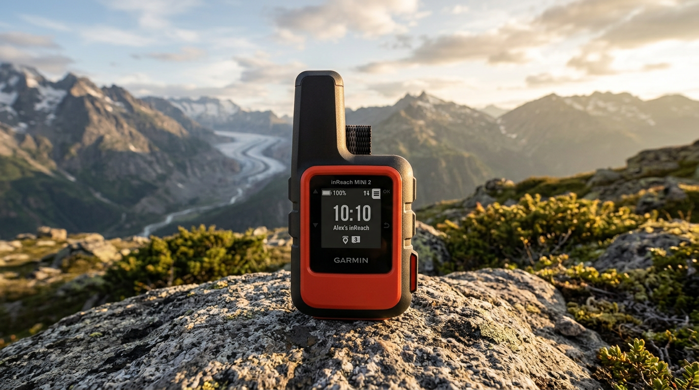
Bluetooth pairs the unit with the Garmin Explore smartphone app for route planning, waypoint syncing, and LiveTrack sharing (requires cell service on the phone). Wi-Fi enables over-the-air software updates and map downloads without a USB cable. ANT+ connects to compatible sensors (heart-rate monitors, tempe temperature sensors). Notably absent: satellite messaging. The GPSMAP 67 does not have inReach SOS or two-way texting; for that, you need the GPSMAP 67i variant or a separate inReach Mini.
Comparison Context
Within Garmin's lineup, the GPSMAP 67 sits between the eTrex 32x (smaller screen, single-band GNSS, shorter battery life) and the GPSMAP 67i (adds inReach satellite comms, higher price). Compared to the older GPSMAP 66sr, the 67 gains multi-band GNSS and a slightly larger display but loses the SOS beacon (non-subscription emergency locator). Against competitors, the 67 is more rugged and longer-lasting than most smartphone + external GPS combos, but less intuitive than consumer units like the Garmin eTrex SE or Magellan TRX7. For hunters, the 67 lacks the specialized game-management features of the Garmin Alpha series (dog tracking, Astro compatibility).
Durability Considerations
The transflective LCD is scratch-resistant but not Gorilla Glass; a screen protector is advisable for pack-pocket carry. The rubberized side panels will degrade with UV exposure over years (common to all elastomer grips), but the core housing is mechanically robust. The battery door uses a quarter-turn locking tab—simple and reliable, though the plastic threads can strip if over-torqued. The unit's weak point is the mini-USB charging port (used for data transfer and optional external power); the port cover is a thin rubber flap that can tear with repeated use. Garmin's one-year warranty covers defects but not abuse. Anecdotally, the GPSMAP 64/66 series (predecessors) have proven field-repairable and long-lived, suggesting similar longevity for the 67 platform.
Value Proposition
The GPSMAP 67 typically retails around $450–$500 USD (pricing varies; check current listings). That's 3–5× the cost of a basic smartphone GPS app or entry-level handheld. You're paying for multi-band GNSS precision, week-long battery life, glove-friendly controls, and a display that works in full sun. For weekend hikers on marked trails with good cell coverage, a phone suffices. For hunters glassing remote ridges, SAR volunteers coordinating search grids, or backpackers on multi-week treks, the 67's reliability and battery endurance justify the investment. The lack of satellite messaging means you'll need a separate device (inReach Mini, Zoleo, SPOT) for emergency comms, adding $150–$350 plus subscription fees.
What we like
Trade-offs
Best For
- Backcountry hunters navigating off-trail in varied terrain
- Thru-hikers and long-distance trekkers needing multi-day battery life
- SAR volunteers and wilderness guides requiring reliable position data
- Geocachers and orienteers who value accuracy and waypoint management
- Users in high-latitude or canyon environments where multi-band GNSS matters
Not For
- Casual day hikers on well-marked trails with cell service (phone GPS suffices)
- Users who prioritize satellite messaging and SOS (consider GPSMAP 67i or inReach Mini)
- Beginners seeking plug-and-play simplicity (eTrex SE or smartphone apps are friendlier)
- Budget-conscious buyers comfortable with single-band GNSS (eTrex 32x costs less)
Frequently Asked Questions
+Does the GPSMAP 67 include satellite messaging or SOS?
No. The base GPSMAP 67 does not have inReach satellite communication. For two-way texting and SOS, you need the GPSMAP 67i variant (which includes an inReach subscription) or a separate inReach Mini/Mini 2 device.
+What's the difference between GPS mode and expedition mode?
GPS mode logs your track continuously (default 1-second interval) and keeps the display at normal brightness, yielding up to 165 hours on AA batteries. Expedition mode reduces the fix rate (longer intervals between position updates) and dims the screen, extending runtime to 840 hours—useful for multi-week trips where you check position infrequently.
+Can I use rechargeable NiMH batteries?
Yes. The GPSMAP 67 accepts alkaline, lithium, or NiMH AA batteries. NiMH cells (e.g., Eneloop) work well in moderate temperatures and are cost-effective for frequent users. For cold weather below -10 °C, lithium AAs are strongly recommended due to their superior low-temperature performance.
+Are the preloaded TopoActive maps sufficient for backcountry navigation?
TopoActive maps show roads, trails, water features, and basic land cover, but contour intervals are coarse (often 80–100 m). For detailed elevation analysis and off-trail route planning, consider purchasing Garmin's 24K or 100K topo maps (sold separately) or loading custom USGS quads.
+How does multi-band GNSS improve accuracy?
Multi-band GNSS receives both L1 and L5 frequency signals from GPS, GLONASS, and Galileo satellites. L5 signals are less susceptible to ionospheric interference and multipath errors (reflections off canyon walls, tree canopy). This typically improves position accuracy from 5–10 meters (single-band) to under 3 meters (multi-band) in challenging environments and speeds up satellite acquisition after power-on.
Read next
More from this category
REVIEW
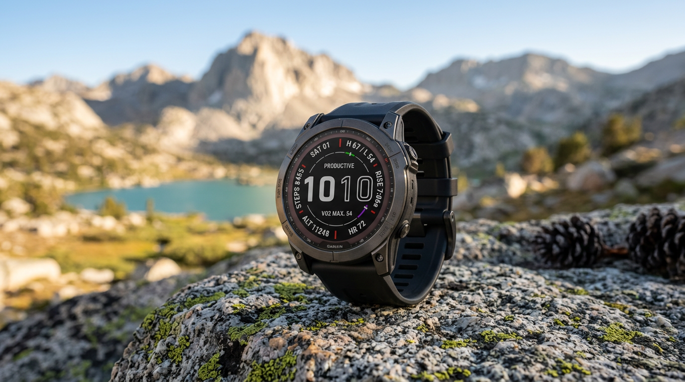
Garmin Fenix 7X Sapphire Solar Smartwatch Review: Flagship Navigation for Multi-Day Backcountry Trips
REVIEW
Garmin inReach Mini 2 Satellite Communicator Review: Two-Way Messaging Beyond Cell Coverage
REVIEW
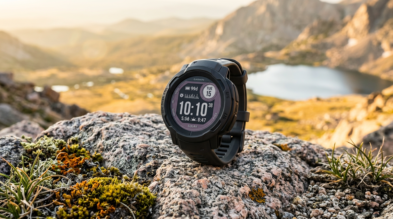
Garmin Instinct 2 Solar GPS Watch Review: Unlimited Battery Life for Multi-Season Backcountry Use

BEST OF
Best Rechargeable Headlamps for Backpacking

BEST OF
Best Beginner Binoculars for Hiking and Bird Watching

GUIDE